Boa Vista · Cape Verde Archipelago
The island the Atlantic kept for last
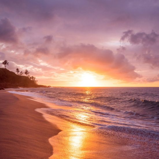
Boa Vista is Cape Verde’s easternmost island — the one closest to the African continent, the flattest, the windiest, and arguably the most beautiful. It is a place of extremes: vast desert landscapes ending abruptly at turquoise water, a sky that stretches further than seems reasonable, and a stillness that most of the world has forgotten how to offer.
620 km²
Total area — third largest island in Cape Verde
14,000
Resident population (2021 census)
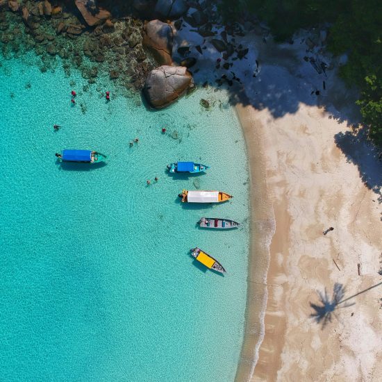
55 km
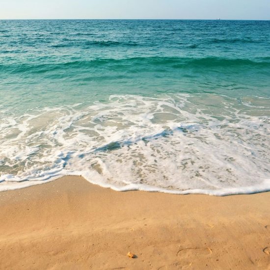
Of beaches — some of the longest in the Atlantic
+300k
Tourists per year and growing
Location
Where Africa meets the Atlantic
Boa Vista sits at the eastern edge of the Cape Verde archipelago, approximately 455 kilometres west of Dakar, Senegal. It is part of the Barlavento (windward) group and lies at a latitude of roughly 16° North — well within the tropics, close enough to the Sahara to feel its breath in the harmattan winds that blow each winter, and far enough into the Atlantic to be cooled and cleansed by the trade winds year-round.
The island is dominated by flat, arid terrain punctuated by isolated mountain peaks — Monte Estância at 387 metres is the highest point — and extensive dune systems that shift and move with the wind. Its coastline is extraordinary: long arcs of white and golden sand, shallow bays of transparent water, and dramatic rocky headlands. Sal Rei, the island’s only town and administrative capital, sits on the western coast facing a natural bay that has sheltered boats for centuries.
Access
Aristides Pereira International Airport serves direct flights from Lisbon, London, Amsterdam, Frankfurt, Milan and beyond.
Trade winds
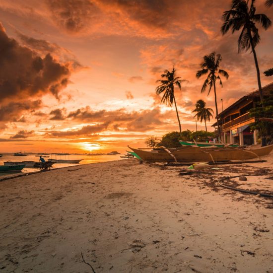
The northeast trade winds blow reliably from November to June, making the island a world-class destination for kitesurfing and windsurfing.
Climate
Semi-arid tropical. Average temperature 25°C year-round. Less than 100mm of rain per year. Over 350 days of sunshine.
History
Five centuries of wind, salt and survival
Cape Verde was uninhabited when Portuguese navigators arrived in the 1460s. Boa Vista — then called São Cristóvão — was among the first islands to be settled, valued initially for its salt pans and its position as a waypoint on Atlantic trade routes connecting Europe, Africa and the Americas.
For centuries, Boa Vista occupied an uncomfortable place in history. The island became a transit point in the transatlantic slave trade, and its population grew from a complex mix of Portuguese settlers and enslaved Africans from the West African mainland. This creole heritage — a fusion of European and African cultures, languages and traditions — is the foundation of Cape Verdean identity today.
Through the colonial period, Boa Vista was repeatedly shaped by drought, famine, and emigration. The island’s residents developed a resilience that is still visible in Cape Verdean culture — in the morna, the haunting music of longing and departure; in the concept of saudade transplanted to African soil; in the simple dignity with which Boavistenses have always faced scarcity.
1460: Portuguese discovery and first settlement
Portuguese navigators settle the uninhabited island, naming it São Cristóvão. Salt extraction and Atlantic trade begin.
1500 – 1700: Atlantic trade and the slave route
The island becomes a resupply and transit point on Atlantic routes, including the transatlantic slave trade. A creole culture begins to form.
1800: Drought, famine and emigration
Severe droughts devastate the population. Mass emigration to the Americas, particularly to New England and Brazil, begins. The diaspora becomes central to Cape Verdean identity.
1975: Independence
Cape Verde declares independence from Portugal on 5 July 1975. Amílcar Cabral, born in Guinea-Bissau of Cape Verdean parents, is the defining figure of the independence movement.
1990: Democracy and economic opening
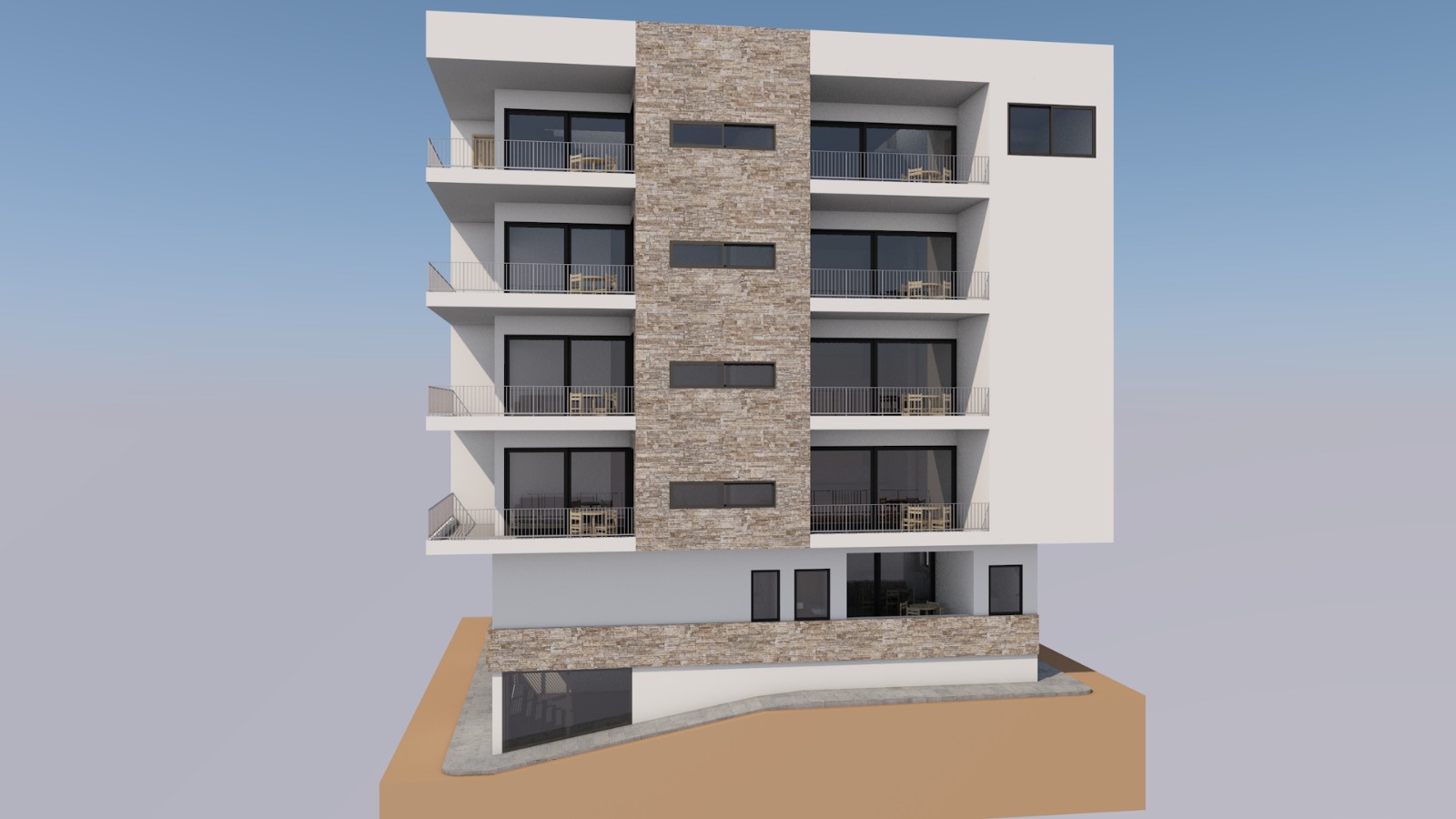
Cape Verde transitions to multi-party democracy. Tourism investment begins on Boa Vista. The island’s first hotels open.
2000 – today: Tourism boom and international recognition
Aristides Pereira Airport opens to international traffic. Boa Vista becomes one of Africa’s fastest-growing tourism destinations. Population and investment grow steadily.
Politics & governance
One of Africa's most stable democracies
Cape Verde is consistently ranked among the most politically stable and democratically governed countries in Africa. It has held free, competitive multi-party elections without interruption since 1991 — a record that few countries on the continent can match. Freedom House classifies Cape Verde as “Free”, placing it in the same category as most Western European nations.
The country is a parliamentary republic. The national government is based in Praia, on the island of Santiago. Boa Vista is administered as a separate municipality — the Câmara Municipal de Boa Vista — with its own elected local government responsible for urban planning, infrastructure and local development.
Currency & economy
Cape Verdean Escudo pegged to the Euro since 1998. IMF-rated as a stable, well-managed small island economy.
Legal system
Based on the Portuguese civil law tradition. Property rights are constitutionally protected. Judiciary is independent.
System of government
Parliamentary republic. President is head of state; Prime Minister leads the government. Peaceful transfers of power since 1991.
Tourism
Africa's Atlantic resort — still undiscovered
ourism arrived on Boa Vista later than on its neighbour Sal, and that delay has been its gift. Where Sal developed rapidly and somewhat haphazardly through the 1990s, Boa Vista has grown more slowly, with larger resort projects concentrated away from Sal Rei and the island’s natural landscapes remaining largely intact.
Today, Boa Vista attracts visitors primarily from the UK, Germany, the Netherlands, Italy and Portugal — drawn by the beaches, the wind sports, the sea turtles, and a pace of life that feels genuinely different from Mediterranean alternatives. The island’s tourism is overwhelmingly seasonal, with a long high season from October to April driven by northern Europeans escaping winter. Summer remains quieter, with strong domestic and Portuguese-diaspora traffic.
Western European nations.
The country is a parliamentary republic. The national government is based in Praia, on the island of Santiago. Boa Vista is administered as a separate municipality — the Câmara Municipal de Boa Vista — with its own elected local government responsible for urban planning, infrastructure and local development.